

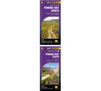
Pennine Way South XT40 (Trail Maps): Edale to Middleton-in-Teesdale (Trail Maps XT40)
£14.74
Amazon-marketplace.co.uk
Delivery from £2.80
Pennine Way North XT40 (Trail Maps): Middleton-in-Teesdale to Kirk Yetholm (Trail Maps XT40)
£14.74
Amazon-marketplace.co.uk
Delivery from £2.80
Ordnance Survey Landranger 105 York & Selby Map With Digital Version One Size
£7.80
Millets.co.uk
Delivery from £3.99
Pennine Way Map | 1:25,000 OS Route Map (Cicerone National Trail Maps)
£11.70
Amazon-marketplace.co.uk
Delivery from £2.80
HARVEY Maps Map Playing Cards Pennine Way North -
£10.99
mountainwarehouse.com (UK)
Delivery from £4.50
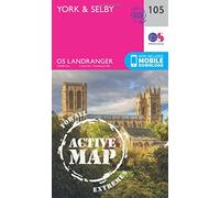
York & Selby Map | Weatherproof | Trans-Pennine Way | Ordnance Survey | OS Landranger Active Map 105 | England | Walks | Cycling | Days Out | Maps | Adventure
£14.05
Amazon-marketplace.co.uk
Delivery from £2.80


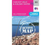
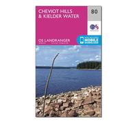
Cheviot Hills & Kielder Water Map | Weatherproof | Pennine Way & Redesdale | Ordnance Survey | OS Landranger Active Map 80 | England | Walks | Cycling | Days Out | Maps | Adventure: 080
£13.34
Amazon-marketplace.co.uk
Delivery from £2.80
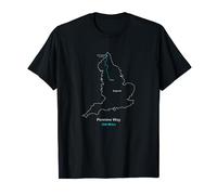
Route Map of the Pennine Way in the UK T-Shirt
£17.49
amazon.co.uk
Delivery from £4.49
HARVEY Maps Pennine Way Trail Map Set -
£31.00
mountainwarehouse.com (UK)
Delivery from £4.50
Ordnance Survey Landranger 80 Cheviot Hills & Kielder Water Map One Size
£7.80
Blacks.co.uk
Delivery from £4.99
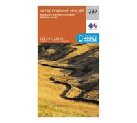
Ordnance Survey Explorer 287 West Pennine Moors, Blackburn, Darwen & Accrington Map With Digital Version One Size
£7.80
Blacks.co.uk
Delivery from £4.99
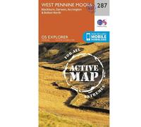
Ordnance Survey Explorer Map Active 287 West Pennine Moors - Blackburn
£14.99
outdooraction.co.uk
Delivery from £2.50
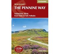
The Pennine Way: National Trail From Edale to Kirk Yetholm (Includes separate OS 1:25K map booklet) (Cicerone Walking Guides)
£17.95
amazon.co.uk
Free Delivery
HARVEY Maps Cheviot Hills Superwalker Map -
£15.95
mountainwarehouse.com (UK)
Delivery from £4.50
The Peak District: Dark Peak Area (OS Explorer Active OL01)
£10.20
Millets.co.uk
Delivery from £3.99
Ordnance Survey Landranger 109 Manchester, Bolton & Warrington Map With Digital Version One Size
£7.80
Millets.co.uk
Delivery from £3.99
Ordnance Survey Landranger 86 Haltwhistle & Brampton, Bewcastle & Alston Map With Digital Version One Size
£7.80
Millets.co.uk
Delivery from £3.99
Ordnance Survey Explorer 276 Bolton, Wigan & Warrington Map With Digital Version One Size
£7.80
Millets.co.uk
Delivery from £3.99
Explorer Ol16 The Cheviot Hills Map With Digital Version - Green, Green One Size
£7.80
Millets.co.uk
Delivery from £3.99
Ordnance Survey OS Landranger 111 Sheffield & Doncaster, Rotherham, Barnsley & Thorne Map One Size
£7.80
Blacks.co.uk
Delivery from £4.99
Ordnance Survey Explorer 291 Goole & Gilberdyke Map With Digital Version One Size
£7.80
Millets.co.uk
Delivery from £3.99
Ordnance Survey Explorer OL41 Forest of Bowland & Ribblesdale Map With Digital Version One Size
£7.80
Millets.co.uk
Delivery from £3.99
Ordnance Survey Explorer Active OL21 South Pennines Map With Digital Version One Size
£10.20
Blacks.co.uk
Delivery from £4.99
Ordnance Survey Landranger 120 Mansfield & Worksop, Sherwood Forest Map With Digital Version One Size
£7.80
Millets.co.uk
Delivery from £3.99
Ordnance Survey Landranger 119 Buxton, Matlock, Bakewell & Dove Dale Map With Digital Version One Size
£7.80
Blacks.co.uk
Delivery from £4.99

Ordnance Survey Explorer OL21 South Pennines Map With Digital Version One Size
£7.80
Millets.co.uk
Delivery from £3.99
Ordnance Survey Explorer Active 292 Withernsea & Spurn Head Map With Digital Version One Size
£10.20
Millets.co.uk
Delivery from £3.99

Ordnance Survey Explorer Active 291 Goole & Gilberdyke Map With Digital Version One Size
£10.20
Millets.co.uk
Delivery from £3.99
Explorer OL2 Yorkshire Dales - Southern & Western Areas Map With Digital Version, Orange One Size
£7.80
Blacks.co.uk
Delivery from £4.99
Ordnance Survey Explorer OL43 Hadrian's Wall Map With Digital Version One Size
£7.80
Millets.co.uk
Delivery from £3.99
Ordnance Survey Explorer Active OL43 Hadrian's Wall Map With Digital Version One Size
£10.20
Millets.co.uk
Delivery from £3.99
Ordnance Survey Explorer 293 Kingston upon Hull & Beverley Map With Digital Version One Size
£7.80
Millets.co.uk
Delivery from £3.99
Ordnance Survey Landranger 107 Kingston upon Hull, Beverley & Driffield Map With Digital Version One Size
£7.80
Blacks.co.uk
Delivery from £4.99
Explorer Active Ol2 Yorkshire Dales - Southern & Western Areas Map With Digital Version - Green, Green One Size
£10.20
Blacks.co.uk
Delivery from £4.99
Ordnance Survey Landranger 87 Hexham & Haltwhistle Map With Digital Version One Size
£7.80
Millets.co.uk
Delivery from £3.99
Ordnance Survey Explorer 275 Liverpool, St Helens, Widnes & Runcorn Map With Digital Version One Size
£7.80
Millets.co.uk
Delivery from £3.99
- 1
- 2
- 3
- next page
🤖 Ask ChatGPT
🛍️ What are the most important purchase criteria?
💰 Tell me the best deals!
📋 Create a short summary!
Informations about "pennine way map"
Compare 234 offers for your search.
Pricehunter was able to locate products in 49 categories, ranging from £3.79 to £43.41.
About "pennine way map"
- In total, Pricehunter was able to locate 12 offers, from web-shops such as Amazon-marketplace.co.uk, Millets.co.uk, Blacks.co.uk and outdooraction.co.uk.
- After having chosen your supplier you may also choose the delivery company. 1 delivery companies are available Harper Collins Publishers being the most popular.
- The most offers (81) were found in the price range from £7.00 to £7.99.
- Customers who looked for this item also found interesting.
- With our extensive colour palette you can select your favourite colour for your article. Of the available 1 shades Black is the most frequently chosen.
Don't forget your voucher code:
Report Illegal Concerns
You are about to report a violation based on the EU Digital Services Act (DSA).