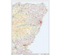
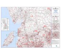
Postcode Sector Map - (S20) - Angus & Aberdeenshire - Wall Map-Paper
£29.99
Amazon-marketplace.co.uk
Free Delivery

Postcode Sector Map - (S3) - Central Southern England - Wall Map-Paper
£29.99
amazon.co.uk
Free Delivery
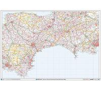
Postcode Sector Map - (S2) - Devon, Dorset & Somerset - Wall Map-Paper
£29.99
Amazon-marketplace.co.uk
Free Delivery
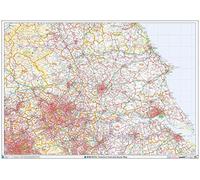
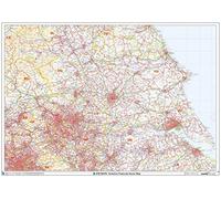
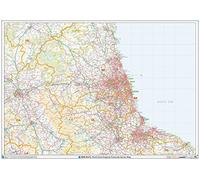
Postcode Sector Map - (S13) - Yorkshire - Wall Map-Paper
£29.99
amazon.co.uk
Free Delivery
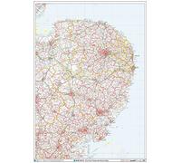
Postcode Sector Map - (S8) - The Fens - Wall Map-Plastic Coated
£38.99
Amazon-marketplace.co.uk
Free Delivery

Yorkshire & East Riding LEEDS/BRADFORD - Postcode Sector Map 20 - Wall Map With Motorway, A' Roads, B' Roads, City Plans, Area, District, Sectors Size: 73 x 107 cm Scale: 1:150,000- Laminated
£25.99
Amazon-marketplace.co.uk
Free Delivery
Northern Ireland Postcode Sector Wall Map (S14) - 47" x 33.25" Laminated
£77.99
Amazon-marketplace.co.uk
Delivery from £7.69

Postcode Sector Map - (S2) - Devon, Dorset & Somerset - Wall Map-Plastic Coated
£38.99
Amazon-marketplace.co.uk
Free Delivery

Glasgow and the Clyde - Postcode Sector Map 25 - Wall Map With Motorway, A' Roads, B' Roads, City Plans, Area, District, Size: 73 x 107 cm (29 x 42 inches) Scale: 1:150 000 (2.4 miles to 1 inch)
£18.99
Amazon-marketplace.co.uk
Free Delivery

North Devon Postcode Sector Wall Map- Postcode Sector Map 2 - Laminated Wall Map With Motorway, A' Roads, B' Roads, City Plans, Area, District, Sectors
£34.95
Amazon-marketplace.co.uk
Free Delivery
Liverpool Postcode Sector Map (Laminated)
£37.50
Amazon-marketplace.co.uk
Delivery from £2.80
Postcode Sector Map - (S7) - East Midlands - Wall Map-Plastic Coated
£38.99
Amazon-marketplace.co.uk
Free Delivery
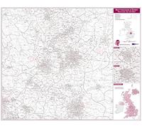
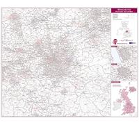
Postcode Sector Map - (S10) - West Midlands - Wall Map-Paper
£29.99
amazon.co.uk
Free Delivery

North West England Postcode Sector Wall Map (S12) - 33.25" x 47" Laminated
£77.99
Amazon-marketplace.co.uk
Delivery from £7.69

Avon And Wiltshire Postcode Sector Wall Map- Postcode Sector Map 6 - Laminated Wall Map With Motorway, A' Roads, B' Roads, City Plans, Area, District, Sectors
£34.95
Amazon-marketplace.co.uk
Free Delivery
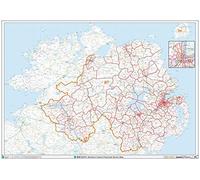
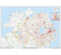
Postcode Sector Map - (S14) - Northern Ireland - Wall Map-Paper
£29.99
Amazon-marketplace.co.uk
Free Delivery

Northern Ireland Postcode Sector Wall Map (S14) - 47" x 33.25" Matte Plastic
£70.99
Amazon-marketplace.co.uk
Delivery from £7.69

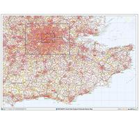
Postcode Sector Map - (S1) - South West England - Wall Map-Paper
£29.99
Amazon-marketplace.co.uk
Free Delivery

Postcode Sector Map - (S4) - South East England - Wall Map-Plastic Coated
£38.99
Amazon-marketplace.co.uk
Free Delivery

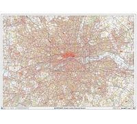
Greater London - Postcode Sector Map 8 - Wall Map With Motorway, A' Roads, B' Roads, City Plans, Area, District, Sectors Size: 73 x 107 cm (29 x 42 inches) Scale: 1:60 000- Laminated Wall Map
£29.99
Amazon-marketplace.co.uk
Free Delivery
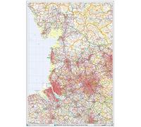
Postcode Sector Map - (S12) - North West England - Wall Map-Plastic Coated
£38.99
Amazon-marketplace.co.uk
Free Delivery
Yorkshire Postcode Sector Wall Map (S13) - 47" x 33.25" Laminated
£77.99
Amazon-marketplace.co.uk
Delivery from £7.69
South East England Postcode Sector Wall Map (S4) - 47" x 33.25" Laminated
£77.99
Amazon-marketplace.co.uk
Delivery from £7.69
Lancashire and the Isle of Man - Postcode Sector Map 19 - Wall Map With Motorway, A' Roads, B' Roads, City Area, Size: 73 x 107 cm (29 x 42 inches) Scale: 1:150 000 (2.4 miles to 1 inch) Laminated
£34.95
Amazon-marketplace.co.uk
Free Delivery

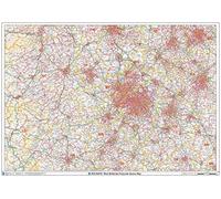
Postcode Sector Map - (S7) - East Midlands - Wall Map-Paper
£29.99
amazon.co.uk
Free Delivery
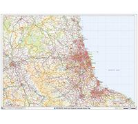
Postcode Sector Map - (S16) - North East England - Wall Map-Plastic Coated
£38.99
Amazon-marketplace.co.uk
Free Delivery
Nottingham and Derby Postcode Sector Map (Laminated)
£37.50
Amazon-marketplace.co.uk
Delivery from £2.80

Postcode Sector Map - (S16) - North East England - Wall Map-Paper
£29.99
amazon.co.uk
Free Delivery

Postcode Sector Map - (S3) - Central Southern England - Wall Map-Plastic Coated
£38.99
Amazon-marketplace.co.uk
Free Delivery
West Midlands Postcode Sector Wall Map (S10) - 47" x 33.25" Laminated
£77.99
Amazon-marketplace.co.uk
Delivery from £7.69
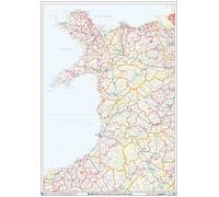
Postcode Sector Map - (S9) - North Wales - Wall Map-Paper
£29.99
Amazon-marketplace.co.uk
Free Delivery
Manchester Postcode Sector Map (Laminated)
£37.50
Amazon-marketplace.co.uk
Delivery from £2.80
Greater London Postcode Postcode Sector Wall Map (C7) - 47" x 33.25" Rolled Canvas
£127.99
Amazon-marketplace.co.uk
Delivery from £7.69
North East England Postcode Sector Wall Map (S16) - 47" x 33.25" Laminated
£77.99
Amazon-marketplace.co.uk
Delivery from £7.69

Northern Ireland Postcode Sector Wall Map (S14) - 47" x 33.25" Paper
£60.99
Amazon-marketplace.co.uk
Delivery from £7.69
Postcode Sector Map - (S11) - Lincolnshire & Derbyshire - Wall Map-Paper
£29.99
Amazon-marketplace.co.uk
Free Delivery

Postcode Sector Map - (S12) - North West England - Wall Map-Paper
£29.99
Amazon-marketplace.co.uk
Free Delivery

Postcode Sector Map - (S14) - Northern Ireland - Wall Map-Plastic Coated
£38.99
Amazon-marketplace.co.uk
Free Delivery

Postcode Sector Map - (S6) - Severn Estuary - Wall Map-Paper
£29.99
Amazon-marketplace.co.uk
Free Delivery
Postcode Sector Map - (S5) - South Wales - Wall Map-Plastic Coated
£38.99
Amazon-marketplace.co.uk
Free Delivery
- 1
- 2
- 3
- 4
- 5
- next page
🤖 Ask ChatGPT
🛍️ What are the most important purchase criteria?
💰 Tell me the best deals!
📋 Create a short summary!
Informations about "postcode sector map"
With Pricehunter, you can compare offers online in order to find the bid that most fulfills your requirements "postcode sector map".
Based on your search criteria "postcode sector map", our price search engine found the lowest prices in 28 categories.
About "postcode sector map"
- Lowest prices found in 2 different e-shops, including Amazon-marketplace.co.uk and amazon.co.uk.
- If you would prefer an item from a particular brands, you can find 0 web-shops for this product. If you have not yet made a decision, you can also filter your favourite manufacturers and choose between 0 manufacturers.
- 0 different brands offer the product - , that you were looking for.
- Furthermore, other clients researched for the following product .
- With Pricehunter you are also spoilt for choice for colours. You can select your favourite from 0 coloration. The article is most commonly ordered in the colour .
Don't forget your voucher code:
Report Illegal Concerns
You are about to report a violation based on the EU Digital Services Act (DSA).