
£21.16
Whsmith.co.uk
Delivery from £3.99

£16.55
amazon.co.uk
Free Delivery

£27.60
amazon.co.uk
Free Delivery

£21.16
Whsmith.co.uk
Delivery from £3.99

£16.55
amazon.co.uk
Free Delivery

£27.60
Whsmith.co.uk
Free Delivery

£18.00
amazon.co.uk
Free Delivery

£21.26
Amazon-marketplace.co.uk
Delivery from £3.99

£26.68
amazon.co.uk
Free Delivery

£17.48
amazon.co.uk
Free Delivery

Physical Map of Wales Wall Map - Laminated Poster - Size 82cm x 120cm - Perfect For Schools, Offices and Businesses - Clearly Shows County's, Towns And Roads
£20.99
Amazon-marketplace.co.uk
Free Delivery
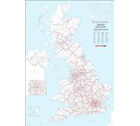
£22.99
Amazon-marketplace.co.uk
Delivery from £7.69

£104.86
Amazon-marketplace.co.uk
Free Delivery

National Geographic Maps: England and Wales Wall Map - Compact - 54 x 41 cm - Front Lamination
£21.99
Amazon-marketplace.co.uk
Delivery from £7.69

A4 Sticker Sheet Wales Landmarks Vinyl Stickers - Welsh UK GB City Map Airport Stamp Skyline Flag Travel Holiday Culture Aesthetic #80672
£5.99
Amazon-marketplace.co.uk
Free Delivery

Grantham - Ordnance Survey of England and Wales 1920 Series - Size - 100 x 73cm - Paper
£18.20
Amazon-marketplace.co.uk
Delivery from £4.00

National Geographic Maps: England and Wales Wall Map - Compact - 54 x 41 cm
£19.99
Amazon-marketplace.co.uk
Delivery from £7.69

York and Environs - Ordnance Survey of England and Wales 1870 Series - Size A2-59.4 x 42cm - Paper Laminated
£12.99
Amazon-marketplace.co.uk
Delivery from £4.00
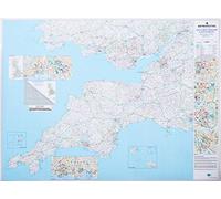
Large Southwest England And South Wales Road Map - Detailed Regional Road Wall Map - Motorways, Primary And Secondary Roads, Trunk Roads, Dual Carriageways
£32.99
Amazon-marketplace.co.uk
Free Delivery
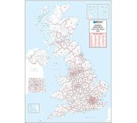
UK White Postcode Areas Wall Map -100 cm x 141 cm - England, Scotland & Wales - Plain Background - Plastic Coated, Waterproof & Wipeable - Ideal for Office & Classroom
£79.99
Amazon-marketplace.co.uk
Free Delivery
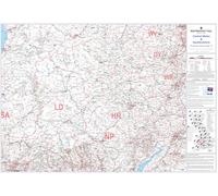
Central Wales & Herefordshire Postcode Sector Map 12 Wall Map With Motorway, A' Roads, B' Roads, City Plans, Area, Size: 73 x 107 cm (29 x 42 inches) Scale: 1:150 000 (2.4 miles to 1 inch) Laminated
£34.95
Amazon-marketplace.co.uk
Free Delivery

Halifax and Environs - Ordnance Survey of England and Wales 1870 Series - Size A2-59.4 x 42cm - Paper Laminated
£12.99
Amazon-marketplace.co.uk
Delivery from £4.00

National Geographic Maps: England and Wales Classic Wall Map - 91 x 76 cm - Art Quality Print on Polypropylene
£31.99
Amazon-marketplace.co.uk
Delivery from £7.69

Large Southwest England And South Wales Postcode Wall Map - Covering Cardiff And Bristol - City Plan Inlays, County Boundaries, Motorways, Primary 'A'+'B' Roads, Towns, Cities
£34.95
Amazon-marketplace.co.uk
Free Delivery
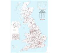
UK White Postcode Areas Wall Map - A1 594mm x 841mm - Plastic Coated Waterproof & Wipeable - England, Scotland & Wales - Ideal for Office, Classroom & Home Use
£24.99
Amazon-marketplace.co.uk
Free Delivery

Gloucester & Forest of Dean - Ordnance Survey of England and Wales 1920 Series - Size - 100 x 73cm - Paper
£18.20
Amazon-marketplace.co.uk
Delivery from £4.00

National Geographic Maps: England and Wales Classic Wall Map - 91 x 76 cm - Front Lamination
£28.99
Amazon-marketplace.co.uk
Free Delivery

Wells next to the Sea - Ordnance Survey of England and Wales 1890 Series - Size - 100 x 74cm - Paper
£18.20
Amazon-marketplace.co.uk
Delivery from £4.00
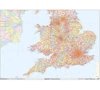
England & Wales - Postcode District Wall Map-Plastic Coated
£38.99
Amazon-marketplace.co.uk
Free Delivery

Isles of Scilly - Ordnance Survey of England and Wales 1890 Series - Size - 100 x 74cm - Paper
£18.20
Amazon-marketplace.co.uk
Delivery from £4.00
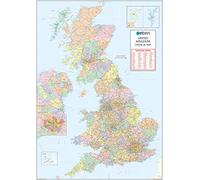
XYZ Maps UK Postcode Areas Wall Map - 100 cm x 141 cm - England, Scotland & Wales - Political Postcode Regions - 120gsm Art Paper - Ideal for Office, Classroom & Planning Use
£69.99
amazon.co.uk
Free Delivery

Large Wales & The Midlands Postcode Wall Map - Covering Liverpool, Birmingham, Bristol And Cardiff - City Plan Inlays, County Boundaries, Motorways, Primary 'A'+'B' Roads, Towns, Cities
£34.95
Amazon-marketplace.co.uk
Free Delivery

Teachers as Curriculum Designers for Transcultural Communicative Competence
£26.67
Whsmith.co.uk
Free Delivery
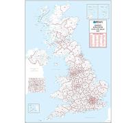
UK White Postcode Areas Wall Map - 100 cm x 141 cm- England, Scotland & Wales - Clean White Design - 120gsm Art Paper - Ideal for Office, Classroom & Planning Use
£69.99
Amazon-marketplace.co.uk
Free Delivery

Henley on Thames - Ordnance Survey of England and Wales 1890 Series - Size - 100 x 74cm - Paper
£16.99
Amazon-marketplace.co.uk
Delivery from £4.00
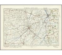
Wisbech & King's Lynn - Ordnance Survey of England and Wales 1920 Series - Size - 100 x 73cm - Paper
£16.99
Amazon-marketplace.co.uk
Delivery from £4.00

National Geographic Maps: England and Wales Classic Wall Map - 91 x 76 cm
£21.99
Amazon-marketplace.co.uk
Free Delivery
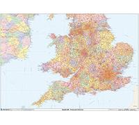
England & Wales Postcode District Wall Map (D9) - 47" x 33.25" Laminated
£63.99
Amazon-marketplace.co.uk
Delivery from £7.69
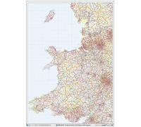
Wales - Postcode District Wall Map-Plastic Coated
£38.99
Amazon-marketplace.co.uk
Free Delivery

Science: A STEM Approach: Year 3 (England/Wales)
£17.76
amazon.co.uk
Delivery from £4.49
- 1
- 2
- next page
🤖 Ask ChatGPT
🛍️ What are the most important purchase criteria?
💰 Tell me the best deals!
📋 Create a short summary!
Informations about "curriculum for wales:"
With Pricehunter, you can compare offers online in order to find the bid that most fulfills your requirements "curriculum for wales:".
Based on your search criteria "curriculum for wales:", our price search engine found the lowest prices in 33 categories.
About "curriculum for wales:"
- Lowest prices found in 4 different e-shops, including Amazon-marketplace.co.uk, amazon.co.uk, Whsmith.co.uk and waterstones.com.
- After having chosen your supplier you may also choose the delivery company. 3 delivery brands are available National Geographic, Palgrave Macmillan and Ofa Bamberg being the most popular.
- 3 different producers offer the product - National Geographic, Palgrave Macmillan and Ofa Bamberg, that you were looking for.
- Furthermore, other clients researched for the following product .
- With Pricehunter you are also spoilt for choice for colours. You can select your favourite from 1 colours. The article is most commonly ordered in the colour White.
Don't forget your voucher code:
Report Illegal Concerns
You are about to report a violation based on the EU Digital Services Act (DSA).